BIM Revit

3D Modelling Services

We can convert the point cloud into a Bim-ready format, including Revit 3D modelling, aecium, and ArchiCAD models.


BIM - Construction Management Services
Our BIM Services provide a comprehensive infrastructure and construction overview of each project with a range of variables defined to precise specifications.

A spatial representation is created before the commencement of a definitively specified development. Each design and construction element is defined as a parametric result, combining site plans, sections, and elevations that are generated automatically from a defined position or direction.

Our BIM models also contain structural elements such as mechanical, electrical, and plumbing installations—commonly referred to as MEP.

We build accurate point cloud data and 3D parametric models produced directly from the point cloud, typically in Revit format. This approach ensures a simplified project process and enhanced results across all stages of design and construction.

THINGS TO CONSIDER:

LOD (Level of Detail)

How many details do you need in the model? Think about what the plan for the building is. You may need high detail level on a retained facade, for example, but low detail level on internal partitioning if all you require is to quantify the volume that will be removed.

LOI (Level of Information)

How much intelligence do you need from the modelled elements? Be aware that in an existing structure the surveyor may be unable to access all fragments of the building, and will not have an in-depth knowledge within all related disciplines. Discuss any possible limitations at the outset.

Which coordinate system will be used? This is often overlooked but can be critical. Decide at the outset, protect it on site, ensure that all stakeholders are aware of it, and use it. Basepoint of the model. Again, often overlooked but difficult to change later. Decide on a location and ensure that all stakeholders are aware of it

THINGS WE DO TO KEEP AS-BUILT BIM MODEL EASY TO USE:

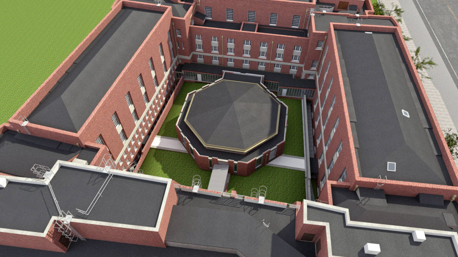
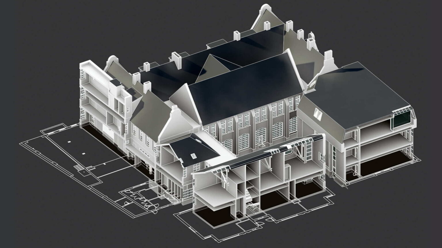
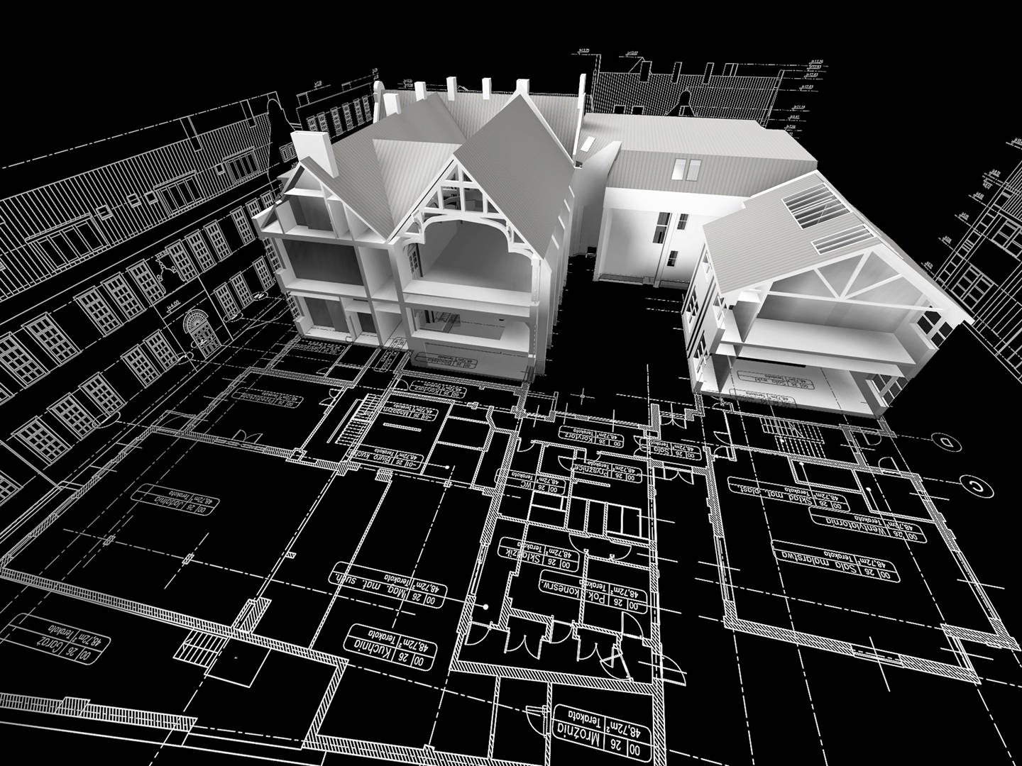
All families created from the point cloud have a word “SURVEY” as a prefix in their name. This indicates that particular element was created from the point cloud data only.

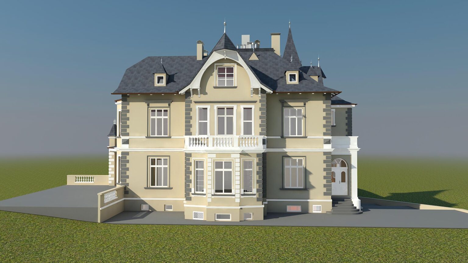
Our models are positioned with real-world coordinates in mind, but we use a Project Base Point to reposition each building to local coordinates or to match some particular orientation (like from the existing drawings).

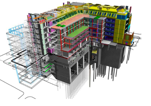
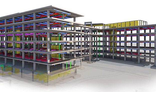
All models are created in collaborate mode. We can provide both detached (local) model as well as central model. We can continue to work on received central file and send it back for synchronisation.

All elements or areas that are not possible to recreate from the point cloud are marked up or described as assumed (by project parameters, scope boxes, dedicated set of section views or in any other way suitable for our client).

Special set of filtered views are provided in every model to indicate that certain elements in the model require clients’ attention.

We always take into account the client’s requests.

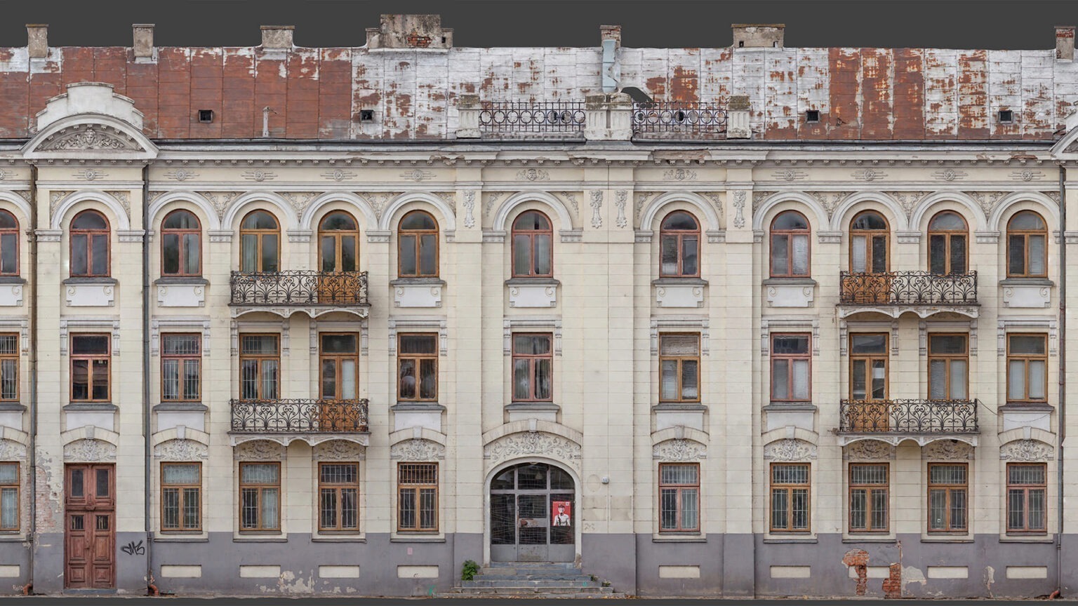
We use the same set of shared project parameters to provide extra survey information within the model.

Project examples – BIM models:

REQUEST FREE CONSULTATION